
Area Calculator from Image
Runs entirely in your browser — your image is never uploaded to a server. Free, no sign-up.
JPG, PNG, WebP, GIF
| # | Area | Perimeter | |
|---|---|---|---|
| No shapes yet | |||
| Total | — | — | |
Area is calculated with the shoelace formula from your traced points and the scale you set. Auto-trace uses flood-fill edge detection from a single click — check the outline before trusting the number, especially on busy or low-contrast photos.
Have a photo of a plot, floor plan, or map—but no measurements? This is where most people get stuck. You can see the shape, but you cannot calculate the area.
Redrawing the shape or measuring every side is slow and often wrong. If you already have an image, you can use it directly. Upload the image, set one known distance, trace the boundary, and get the area in seconds.
This tool is built for that exact situation.
Calculate Area from Image Online
This image area calculator lets you calculate area from a picture without side lengths or coordinates.
It works by combining two things: – a scale (real distance in the image) – a trace (the boundary you draw)
Once both are set, the calculator converts the traced image into real area units like square meters or square feet.
This is useful when the only data you have is an image.
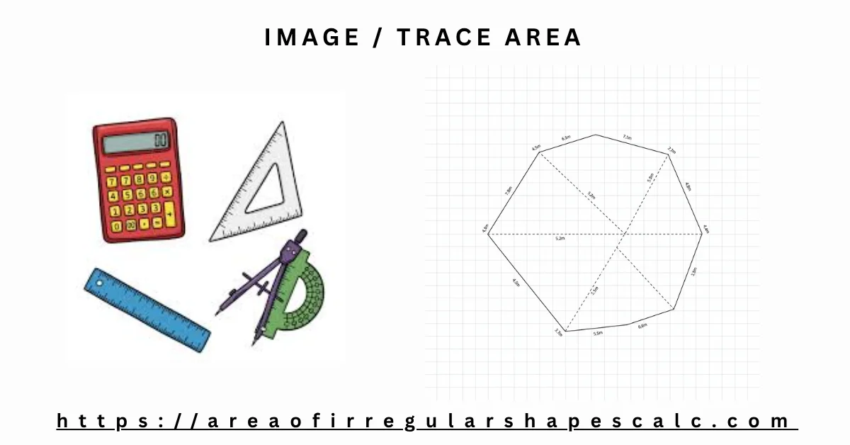
How to Use the Image Area Calculator (Step-by-Step)
Follow these steps in order. Each step affects accuracy.
1) Upload your image
Use a clear image: map, floor plan, satellite view, or photo. Blurry images make tracing harder.
2) Set the scale (most important)
Pick a line in the image whose real length you know. For example, a wall of 5 meters or a road width of 10 meters.
Mark that line and enter its real value. Now the tool knows how pixels convert to real units.
3) Trace the boundary
Click around the edges of the shape, point by point. Move in one direction (clockwise or anticlockwise).
Keep points close to the boundary. Fewer points on curves can reduce accuracy.
4) Calculate area
Click calculate. The tool uses your trace and scale to return the area instantly.
If the result looks off, check the scale first. Most errors come from wrong scale.
How to Measure Area from an Image
When you measure area from an image, you are not measuring lengths directly. You are converting pixels → real units.
- The trace gives the shape in pixels
- The scale tells how many pixels equal real distance
The calculator combines both to compute the final area. This is why a correct scale matters more than anything else.
How Image Area Calculation Works
Behind the scenes, the tool creates a closed shape from the points you trace.
- It calculates the area inside that shape in pixel units
- It applies the scale factor to convert pixels into real-world units
You do not see these steps, but the result depends on how well you set the scale and trace the boundary.
Understanding Scale in Image Area Calculation (Critical)
Scale is the key to accuracy.
What is scale? It is the link between image distance and real distance.
How to set it correctly: – Choose a straight line that is clearly visible – Use a length you are sure about (e.g., 10 m, 20 ft) – Avoid guessing
What goes wrong if scale is wrong: – If scale is 10% smaller → area becomes ~20% smaller – If scale is larger → area becomes too large
Practical tip: If your result looks unrealistic, re-check the scale before anything else.
Example: Calculate Area from Image (Real Workflow)
Example 1: Land Plot from Map (Detailed)
You have a map image of a plot. One boundary is labeled 20 meters.
Step 1: Upload the map image
Step 2: Set scale Mark the 20 m side and enter 20 meters.
Step 3: Trace the boundary Click around the edges of the plot until the shape closes.
Step 4: Calculate The tool converts the traced pixels using the scale and shows the area in square meters.
What usually goes wrong: – Users pick the wrong reference line – Users trace too far from the boundary
Fix those, and results become reliable.
Example 2: Room Area from a Floor Plan
You have a floor plan. A wall is 4 meters long.
Set that as scale. Trace the room edges. The tool returns floor area instantly—useful for tiles, paint, or layout planning.
Example 3: Field or Land Area from a Satellite Image
Use a visible reference like a road width or a known boundary. Set scale, trace the field, and calculate area without measuring each side. This same method works for estimating acreage of an irregular lot from an aerial or satellite photo — use a known reference like a road width, a driveway length, or a neighboring parcel with published dimensions, then trace the lot boundary. The result converts to acres automatically alongside square meters and square feet.
Can You Get an Accurate Room Size from a Single Photo?
Honestly — not perfectly, and it’s worth knowing why before you rely on the number.
A camera flattens a 3D room into a 2D image. Two things distort that projection: perspective (objects shrink the farther they are from the camera) and lens distortion (wide-angle phone lenses stretch the edges of a photo). Software can partly correct for both, but without a second photo angle or a depth sensor, there’s no way to fully recover the room’s true scale from one flat image alone.
What this means in practice: a casual room photo, scaled against one reference object, typically gets you within 10–20% of the real square footage — close enough to plan furniture layout, ballpark a flooring order, or get a rough sense of room size. It is not a substitute for a tape measure or a to-scale floor plan when the number needs to be exact (a contractor quote, a lease dispute, a permit filing).
If you have access to a to-scale floor plan — from a real estate listing, lease agreement, builder’s website, or county records — trace that instead of a photo of the room itself. A floor plan already preserves the room’s proportions correctly, so scaling it against one known dimension (even a standard door width) gets you within 1–2% accuracy instead of 10–20%.
How to Estimate Room Square Footage from a Photo (Step-by-Step)
If a photo is what you have, here’s how to get the most reliable estimate out of it:
1) Choose a photo taken straight-on, not at an angle
Stand in a doorway or corner and shoot toward the far wall as squarely as possible. A photo taken at a steep angle exaggerates the perspective distortion mentioned above.
2) Pick a reference object you’re certain about
Interior doors are the most reliable reference in a room photo — standard interior doors are 30–36 inches (76–91 cm) wide in most homes, and exact door width is usually easy to confirm or measure at the doorway itself. A floor tile of a known size, a countertop of a standard depth, or anything you can actually measure works too. Avoid guessing a length from memory.
3) Set the scale using that reference
Upload the photo, mark the two ends of your reference object, and enter its real length. This is the single step that determines your accuracy — everything downstream depends on it.
4) Trace the floor outline, not the walls
Click around the edge of the visible floor area, following any alcoves or corners exactly as they appear in the photo.
5) Read the result — and treat it as an estimate
The square footage returned is only as accurate as the photo’s perspective and your reference object. For anything where the number needs to hold up (ordering exact flooring, a contractor estimate), verify with a tape measure or a to-scale floor plan before committing.
What If a Photo Isn’t Accurate Enough?
For situations where a photo estimate isn’t precise enough, here’s what actually works better, in order of accuracy:
- A to-scale floor plan — trace it with this same tool for 1–2% accuracy instead of 10–20%
- In-person AR scanning apps (like Apple’s Measure app or similar LiDAR-based tools) — these physically scan the room and beat any single-photo estimate, but require standing in the room
- A tape measure — still the most reliable method for a single room when precision matters
A photo estimate is the right tool when you don’t have access to the room and just need a workable number — not when the number needs to be exact.
Example 4: Sketch or Hand Drawing
Even a rough sketch works if one dimension is known. Set the scale using that dimension and trace the shape for a quick estimate.
When to Use an Image Area Calculator
Use this tool when you are stuck with an image but no measurements. That is the real pain point.
Common situations users face:
- You have a map screenshot, but no side lengths to calculate area
- You have a floor plan image, but dimensions are missing or unclear
- You have a satellite image, but measuring each side is not practical
- You have a sketch or photo, and redrawing it would take too much time
In these cases, people usually try to guess measurements, break the shape into parts or simply redraw the shapes.
All of these take time and often give wrong results.
With this calculator, you use what you already have (the image). You set one known distance and trace the shape. The rest is handled automatically.
Accuracy Tips and Common Mistakes
Most users do not get wrong results because of the tool. They get wrong results because of how they use it.
Here are the real issues people face:
Problem 1: Wrong scale selection
Users often guess a length or pick a line that is not accurate.
What happens: – Area becomes completely wrong
Fix: – Always use a confirmed measurement (e.g., labeled wall, known road width)
Problem 2: Poor tracing
Users click too far from the boundary or skip corners.
What happens: – Shape becomes distorted – Area reduces or increases incorrectly
Fix: – Trace close to the edges – Add more points on curves
Problem 3: Low-quality image
Blurry or distorted images make it hard to trace accurately.
What happens: – Boundary is unclear – Results are inconsistent
Fix: – Use a clear image or zoom in before tracing
Problem 4: Not following order while tracing
Points are added randomly instead of following the boundary.
What happens: – Shape overlaps – Area calculation becomes incorrect
Fix: – Move in one direction (clockwise or anticlockwise)
Therefore, If your result looks unrealistic, do not start over immediately.
First check: – scale n- tracing accuracy. In most cases, fixing these two solves the problem.
Frequently Asked Questions
How do you calculate area from an image?
Upload the image, set a scale using a known distance, trace the shape, and calculate. The tool converts it into real area units.
Can I measure area from a photo?
Yes. As long as one real measurement is known, you can set the scale and measure the area.
What is scale in image measurement?
Scale tells how image distance relates to real distance. It is required to convert pixels into real units.
Is image area calculation accurate?
It is accurate if the scale is correct and tracing is precise. Most errors come from incorrect scale.
Can I calculate land area from an image?
Yes. Use a map or satellite image, set the scale, trace the boundary, and get the total area.
Can I get an accurate room size from a picture?
Not perfectly. A single photo typically gets you within 10u201320% of the real square footage once scaled against a known reference object u2014 close enough for furniture planning or a rough estimate, but not a replacement for a tape measure or a to-scale floor plan when the number needs to be exact.
How do I estimate room square footage from a photo?
Upload the room photo, set the scale using an object of known size (a standard interior door, about 30u201336 inches wide, works well), trace the visible floor outline, and calculate. See the step-by-step section above for the full method.
Can I calculate acreage from a photo?
Yes. Use an aerial or satellite photo of the lot, set the scale using a visible reference like a road width or driveway length, and trace the boundary. The result converts to acres automatically.
What if there’s no good reference object in my photo?
Accuracy depends entirely on having a reliable known measurement in the frame. Without one, you can only trace relative proportions, not real-world area. If possible, go back and take a new photo that includes something of known size u2014 a door, a tile, a tape measure laid on the floor u2014 before relying on the result.