Irregular Land / Plot Area Calculator
Calculate the area of an irregular land plot using coordinates. Ideal for land, property, fields, and plot measurements.
| # | X | Y |
|---|
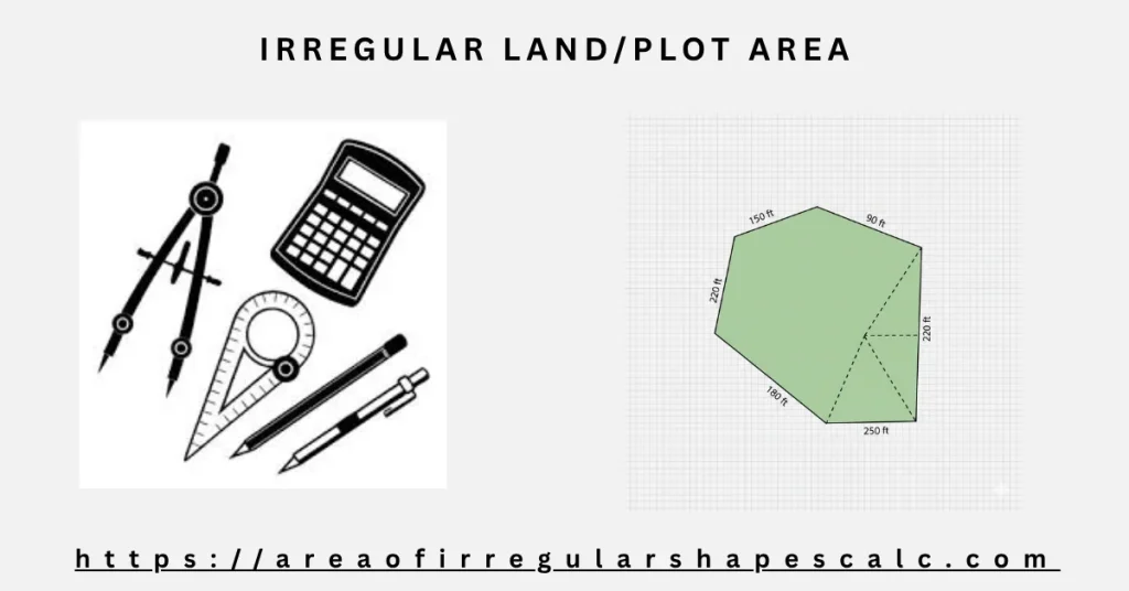
Land is almost never neat. Property boundaries bend around roads. Fields follow natural contours. Plots adjust to zoning lines, access paths, and neighboring parcels. What begins as a simple four-sided plan often grows extra corners, angles, and turns as real-world constraints take over.
At some point, the same question always comes up.
What is the actual area of this land?
The Irregular Land / Plot Area Calculator is built for that moment. It is designed for situations where the boundaries already exist as real data — survey points, GPS coordinates, or mapped measurements — and the result needs to be accurate, repeatable, and defensible.
What Is an Irregular Land or Plot Area?
An irregular land or plot area is any parcel that does not form a perfect rectangle or square.
This includes residential plots with angled boundaries, agricultural fields shaped by terrain, commercial land divided by access roads, parcels adjusted over time, and survey plots with multiple boundary points.
These shapes are normal in real land ownership. What causes problems is trying to calculate them using rough sketches or simplified assumptions.
Why Land Area Needs a Higher Level of Accuracy
Unlike rooms or roofs, land measurements often carry legal and financial weight.
A small error can affect property value, tax assessment, sale agreements, construction approvals, or even lead to boundary disputes. Once land boundaries are defined, the area calculation must follow those same definitions exactly.
That is why professional land measurement relies on coordinates rather than approximation.
Why Coordinates Are the Most Reliable Approach
Coordinates describe land exactly as it exists.
Each point fixes a boundary corner in space. When those points are connected in order, the land outline becomes clear and unambiguous. There is no guessing where a line bends or how long it should be.
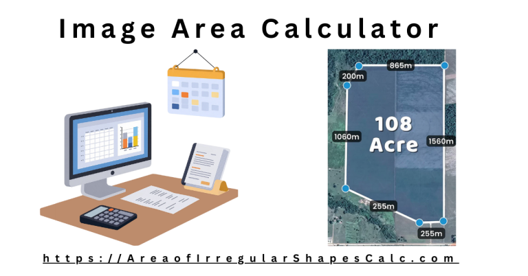
This calculator uses a coordinate-based method commonly known as the shoelace method. It is widely used in surveying, GIS, and engineering to calculate the area of irregular polygons.
It does not rely on estimated angles, assumed diagonals, or manual shape splitting. The same inputs will always produce the same result.
How to Use the Irregular Land / Plot Area Calculator
The workflow follows professional practice.
First, select the coordinate unit you are working in, such as meters or feet. Then enter the X and Y coordinates of each boundary point in order. You can add or remove points as needed to match the actual boundary.
Once the points are entered, click calculate. The calculator connects the points in sequence and computes the enclosed area automatically.
Where This Calculator Is Commonly Used
Property Valuation and Sales
Land area directly influences property value. Buyers, sellers, and agents rely on clear measurements to justify pricing and avoid disputes later.
A coordinate-based calculation provides confidence when numbers are questioned.
Surveying and Mapping
Surveyors work with coordinates because they are verifiable and repeatable. Whether data comes from GPS devices, total stations, or cadastral maps, coordinates define the land.
This calculator mirrors that professional workflow.
Agricultural Land Measurement
Fields rarely follow straight lines. They adapt to terrain, irrigation systems, and access paths.
Accurate area calculation supports yield planning, fertilizer estimates, and compliance reporting.
Construction and Planning
Site layouts, planning permissions, and development proposals depend on correct land area values. Errors at this stage can delay approvals or invalidate plans.
Using coordinates ensures consistency across drawings, reports, and submissions.
Legal and Documentation Use
Land area often appears in legal records, contracts, and official filings. Being able to show how the area was calculated from defined boundary points adds credibility and reduces disputes.
Common Land Measurement Errors This Tool Helps Prevent
Many land area errors come from shortcuts.
Estimating area from rough sketches, relying on map screenshots without scale, ignoring small boundary bends, or mixing units can all distort results.
By calculating directly from coordinates, these problems are avoided.
When This Calculator Is the Right Choice
Use this calculator when you have survey or coordinate data, the boundary is irregular, and accuracy matters.
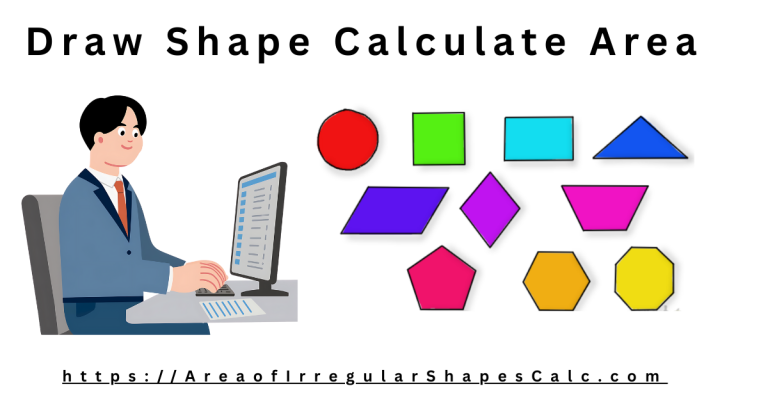
If you are estimating visually, a draw area calculator may be more suitable. For interior rooms, use the floor area calculator. For roofs, use the roof area calculator.
Final Thoughts
Land does not follow ideal shapes, and accurate measurement should not rely on ideal assumptions.
By working directly from boundary coordinates, this calculator respects how land is actually defined and measured. The result is an area value you can trust for planning, valuation, documentation, and decision-making.